OpenCVL: Scaling Cross-View Localization with Diverse, Real-World Imagery
This presentation explores OpenCVL, a new dataset for fine-grained cross-view localization that estimates precise camera position and orientation by matching ground-level images with aerial imagery. The researchers tackle a critical limitation in existing datasets: they rely on expensive specialized vehicles and lack diversity in cameras, viewpoints, and geographic coverage. OpenCVL combines high-precision vehicle data with noisy but diverse crowd-sourced imagery across 41 European cities, using an innovative pose-correction framework to make real-world photos usable for training and evaluation. The work demonstrates that diverse, in-the-wild imagery can improve localization performance when handled carefully, opening new possibilities for more open and reproducible visual localization research.Script
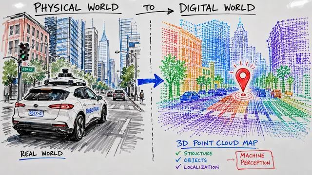
Finding your precise location in a city usually requires expensive sensors or detailed 3D maps. Cross-view localization offers an elegant alternative: match a street photograph to overhead satellite imagery to estimate exactly where you are and which direction you're facing, down to a meter.
Existing datasets capture images from expensive specialized vehicles with fixed, high-quality cameras, giving them narrow viewpoints and limited geographic reach. The authors recognized that crowd-sourced imagery from phones, dash cams, and cyclists offers far greater diversity, but these photos come with a critical flaw: their location labels are too noisy for reliable evaluation.
OpenCVL introduces a pose-correction framework that transfers accuracy from high-end vehicle sensors to noisy crowd-sourced photos. By matching visual features between crowd-sourced images and globally registered LiDAR point clouds, the researchers estimate corrected camera positions that reduce localization error by over half a meter and orientation error by 5 degrees compared to raw phone labels.
The resulting dataset spans 617,000 image pairs across 41 cities in four European countries, combining reliable vehicle data with corrected crowd-sourced imagery. Training on this diverse mix improves localization by nearly a meter on challenging in-the-wild test cases, demonstrating that noisy data becomes valuable when its uncertainty is properly accounted for during learning.
Real-world localization remains substantially harder than controlled conditions. Models still struggle with sidewalk and cyclist viewpoints, intersections with visually similar alternatives, and unusual camera orientations. These failure modes reveal that robust unconstrained localization requires further methodological advances beyond scaling data alone.
OpenCVL makes fine-grained visual localization more open and reproducible by relying entirely on permissive data sources, while its challenging in-the-wild test set better reflects real deployment conditions than vehicle-only benchmarks. To explore this dataset further and create your own research presentations, visit EmergentMind.com where the full paper and interactive video tools await.