Remote Sensing ChatGPT: Integration of LLMs with Remote Sensing Tasks
The paper "Remote Sensing ChatGPT: Solving Remote Sensing Tasks with ChatGPT and Visual Models" introduces an innovative approach for employing LLMs, specifically ChatGPT, to tackle complex interpretation tasks within the domain of remote sensing. This interdisciplinary effort aims to leverage the capabilities of ChatGPT in natural language understanding, reasoning, and interaction to enhance the automation and accessibility of remote sensing tasks, particularly for users who are not domain experts.
Overview of Remote Sensing ChatGPT
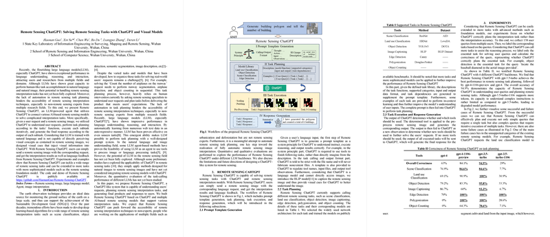
Remote Sensing ChatGPT is a system designed to interpret and respond to user requests by integrating a variety of AI-based remote sensing models. The system workflow involves several stages: prompt template generation, task planning, task execution, and response generation. This architecture allows the system to decompose complex tasks into manageable subtasks that are executed iteratively, providing a comprehensive interpretation of remote sensing imagery based on user queries.
- Prompt Template Generation: Utilizes defined task libraries to generate a structured prompt, enabling ChatGPT to understand and plan the necessary interpretation tasks.
- Task Planning and Execution: The system supports various remote sensing tasks such as scene classification, object detection, and image captioning. LLMs orchestrate these tasks based on user queries and the visual data provided, using models such as ResNet, YOLOv5, and BLIP.
To augment ChatGPT's ability to handle visual data, a technique is introduced that injects visual cues through the BLIP model, enabling the LLM to operate within a hybrid text-image framework.
Experimental Evaluation
The paper presents a systematic evaluation of Remote Sensing ChatGPT's task planning performance across different LLM configurations, notably gpt-3.5-turbo and gpt-4. Experiments across 138 user queries demonstrate an overall correctness rate of 94.9% when using gpt-3.5-turbo, indicating the model's efficacy in accurately interpreting and organizing remote sensing tasks. This approach highlights the advantages of using advanced LLMs in interpreting complex instructions and coordinating the execution of diverse tasks.
However, certain limitations are noted, particularly in unsupported task categories and instances where the LLM may fabricate details rather than seek additional information. Such challenges reaffirm the need for further refinement in prompt design and system capabilities.
Implications and Future Directions
The proposed Remote Sensing ChatGPT system holds significant implications for the field of remote sensing and beyond. By reducing dependence on human specialists for task planning, the system democratizes access to sophisticated image interpretation tools. This progress is particularly relevant for applications in environmental monitoring and disaster response, where timely and accurate data interpretation is crucial.
Future research directions may involve developing more robust open-vocabulary remote sensing models, enhancing the parameter efficiency of LLMs, and further integrating domain-specific foundation models. Such improvements could pave the way toward achieving fully automated remote sensing interpretation systems.
Conclusion
"Remote Sensing ChatGPT" represents a practical advancement in the integration of LLMs with remote sensing technologies. Through methodical task orchestration and leveraging LLMs' emergent capabilities, the system presents a promising venture into accessible and automated remote sensing interpretation. As AI models evolve, the enhancement of such interdisciplinary systems will no doubt contribute significantly to both theoretical advancements and practical applications across multiple research domains.
